The La Verne hiking trails are a pristine set of trails that pass through canyons and streams. It is our goal to keep these trails clean. Many times, hikers will drop a water bottle or a plastic bag. When eaten by a deer or other animals, this can be fatal. Moreover, the litter looks awful.
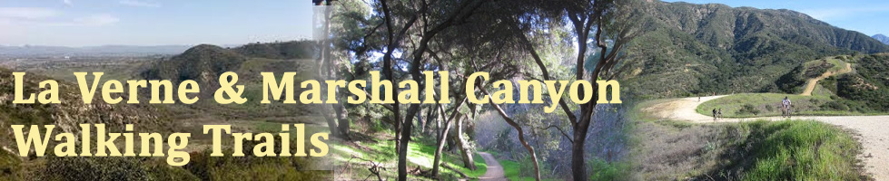
Sprawled out in the foothills above La Verne and Claremont and bumping up to the southern boundary of Angeles National Forest is Marshall Canyon Regional Park. It's not really a park in any conventional sense and you won't find any signs or indications that general public is welcome there. It's totally incognito. The only public facilities are the equestrian center, which operates under the name, Fred M. Palmer Equestrian Center. The county also operates a nursery (providing plants for county facilities) and a correctional facility. However, Marshall Canyon "Park" belongs to the public and beckons us to come and experience its beauty.
Marshall Canyon Trail is multi-use public trail under the jurisdiction of Los Angeles County. It's actually a network of trails—single track and dirt roads—that traverse throughout Marshall Canyon, Live Oak Canyon, their slopes and ridges, and connect to the trails of adjoining Claremont Hills Regional Park. The trails provide an endless array of possible hiking options through relatively undeveloped natural habitat.
The loop hike I describe below lets you experience the full spectrum of this wonderful venue and leaves you lots of options for further exploring. In brief, the hike looks like this: You'll will start at large parking area mid canyon, drop into the canyon going south, hit the main trail, turn northeast ascending the low ridge that separates Marshall Canyon and Live Oak Canyon, head north paralleling the equestrian center, transition into woodsy Live Oak Canyon and head upstream for a bit, climb 400 vertical feet through open chaparral to a ridgeline, and follow the ridgeline east to a splendid lookout point. For your return you will continue east briefly then turn west and follow a fire road west back to Marshall Canyon where you can either opt back to your car (shortening your trip by a mile) or complete the tire loop. I've also included alternate routes for more possibilities.